
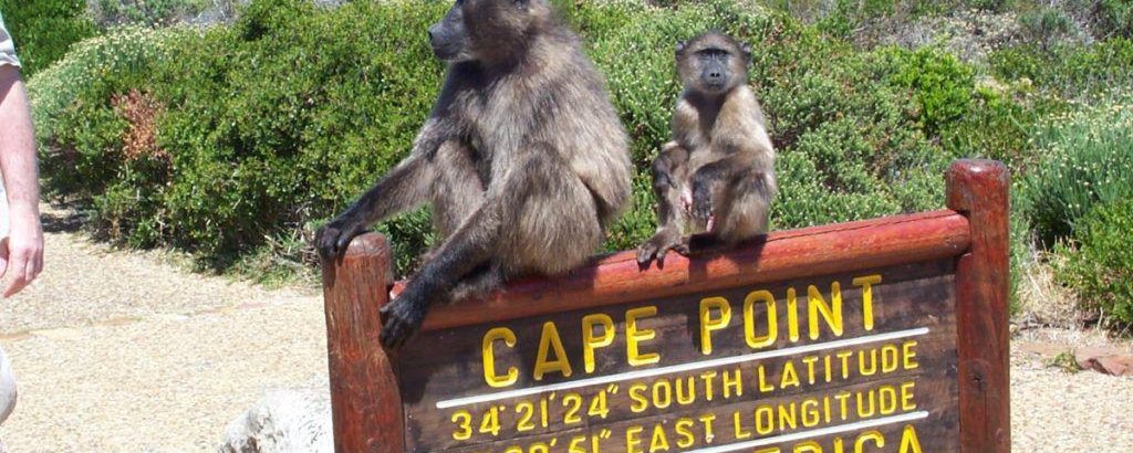
Location
GPS co-ordinates
- 34° 14’ 36.09” S 18° 43’ 59.68” E
Directions from Cape Town International Airport
- From Cape Town International Airport, follow road signs to N2/Cape Town. Merge onto N2/Settlers Way and proceed for 10.2km.
- Just as you pass Exit 7, keep left so that you can take Exit 6 for M3/Rhodes Drive towards Observatory/Muizenberg. Merge onto M3/Rhodes Drive and continue for 16km.
- Use the right 2 lanes to take Exit 23 for M42/Steenberg Road. Use the left lane to turn right and thereafter proceed for 550m.
- Just before the traffic lights take a slight left onto Westlake Drive and continue for 300m.
- At the roundabout, take the 1st exit onto Westlake Avenue. Continue past the Westlake Golf Club and proceed for 1km until you reach a T-junction. Turn right onto M75/Boyes Drive.
- Meander along the mountain for 6.2km until you wind down Clairvaux Road/M75 to a T-junction across from Kalk Bay Harbour. Turn right at the traffic lights onto M4/Main Road.
- Proceed for 2.6km until you reach the village of Fish Hoek. Travel through the high street, passing all the shops until you reach the end of the street and a roundabout.
- At the roundabout, take the 1st exit onto Main Road/Simonstown Road/M4. Follow the road for 650m until you come round a bend and see a set of traffic lights ahead of you.
- Paradise On the Bay is on your left, a blue building just before the traffic lights at Sunny Cove corner.
Share This Page